Data
Data Description
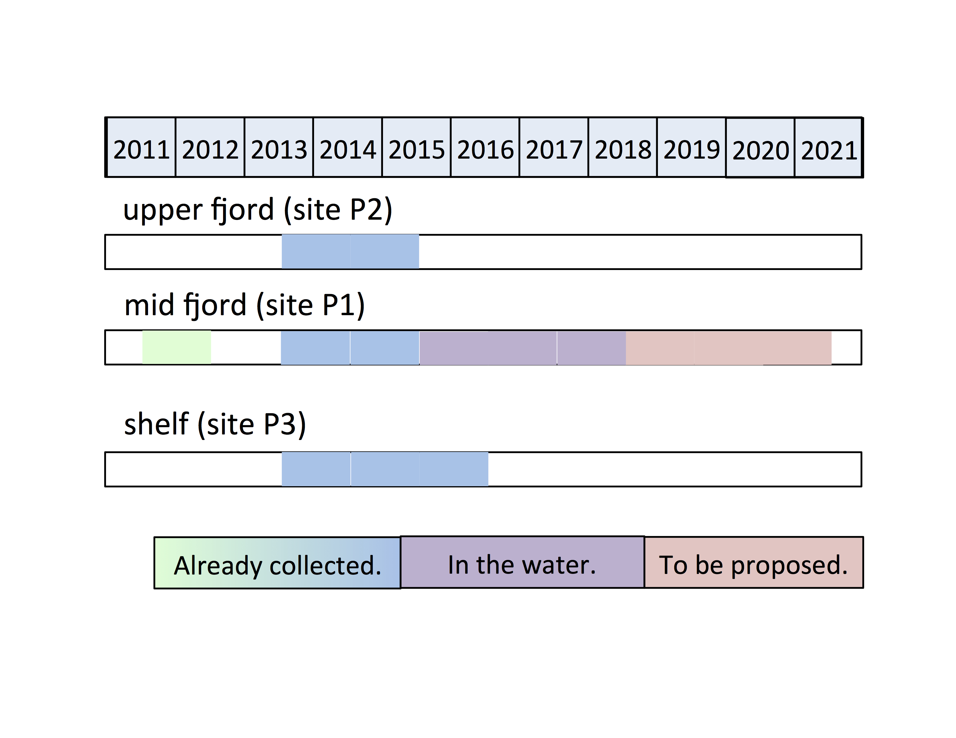
PIES data have been collected at three sites in Sermilik Fjord (P1-P3). During a deployment, a PIES measures time series of (1) round-trip acoustic travel time, (2) bottom pressure and (3) bottom temperature at high sampling rate and for a long duration. Deployment durations are typically a year or longer (our usual season for PIES 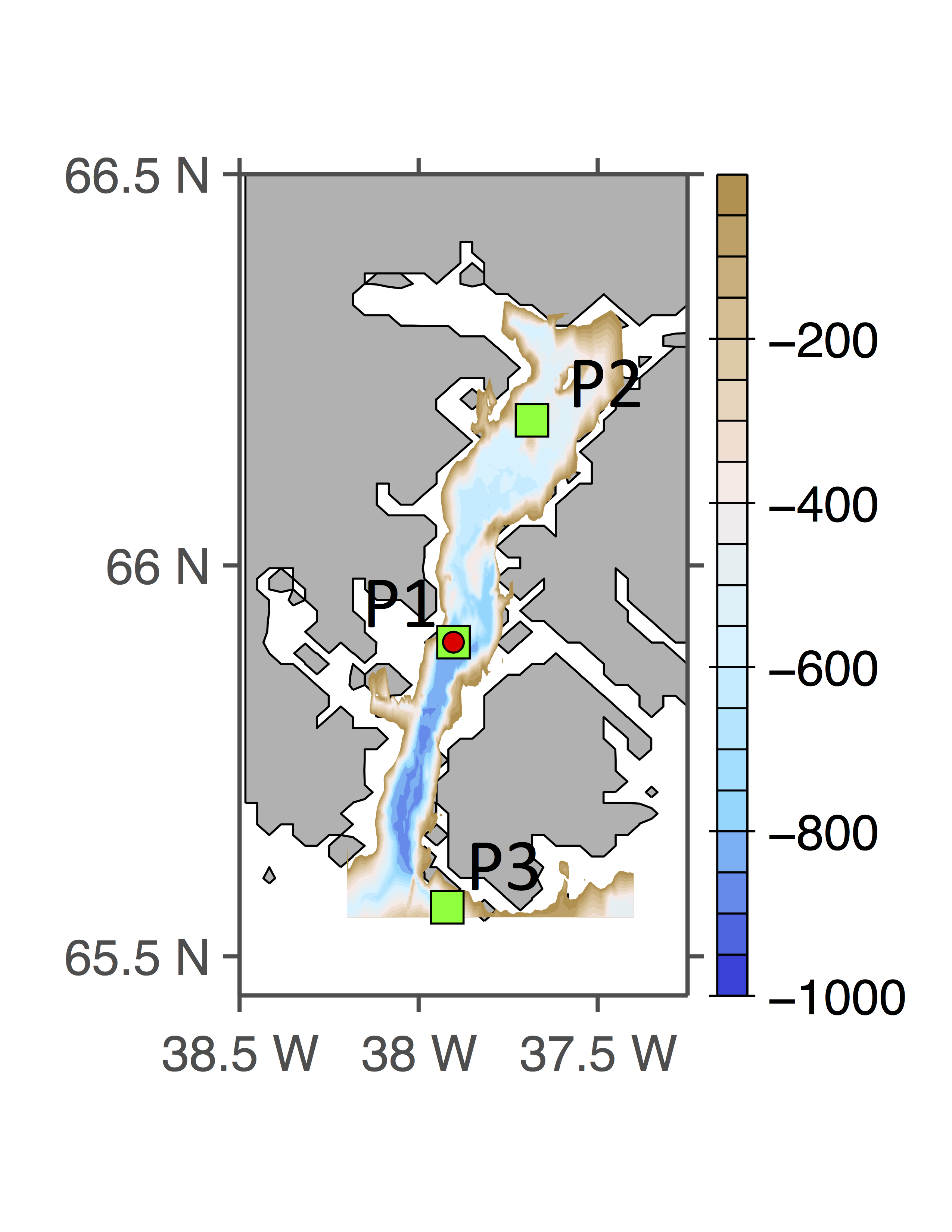 deployments and recoveries is in August or September when we can access the sites by boat). Sampling rates are set by the user.
Raw data (.dat files straight off the instruments) and lightly processed data are made available here as they become available. Folders with the data files use the following naming convention:
PIES Site _ Deployment Duration _ Project Identifier
*Citation information: If you use these PIES data sets, please cite Andres et al. (2015) and FitzMaurice et al. (2016).
The data have been provided to NOAA’s National Centers for Environmental Information (NCEI) and the NSF Arctic Data Center for permanent archiving. The NCEI Accession Number is 0163212 http://accession.nodc.noaa.gov/0163212. The Arctic Data Center link to doi:10.18739/A2RJ6S is https://arcticdata.io/catalog/#view/doi:10.18739/A2RJ6S.
Data Downloads
The button links below will automatically download zip files.
P1_2011to2012_PilotStudy*P1_2013to2015_AlongFjordStudyP1_2015to2017_MonitoringStudyP2_2013to2015_AlongFjordStudyP3_2014to2016_AlongFjordStudy
The Sermilik PIESs Cruise Notes and Data Report is periodically updated with new cruise information.
Project Information
PIESs Sites in Sermilik Fjord
P1 – Mid Fjord Site
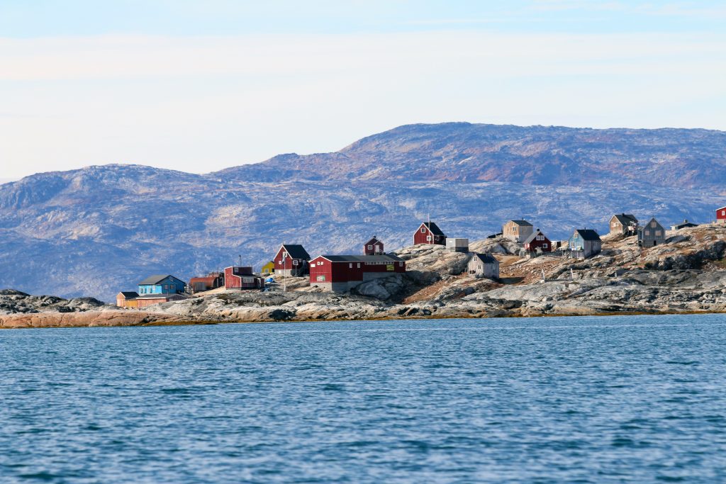
P1 is the site in Sermilik Fjord that we have occupied most often. It is mid-fjord (near the tiny town of Tiniteqilâq) by another site that has been occupied by moored ADCPs and Microcats.
P2 – Upper Fjord Site
Site P2 is near the head of Sermilik Fjord by Āmangâ Island which rises 400 m above sea level.
P3 – Shelf Site
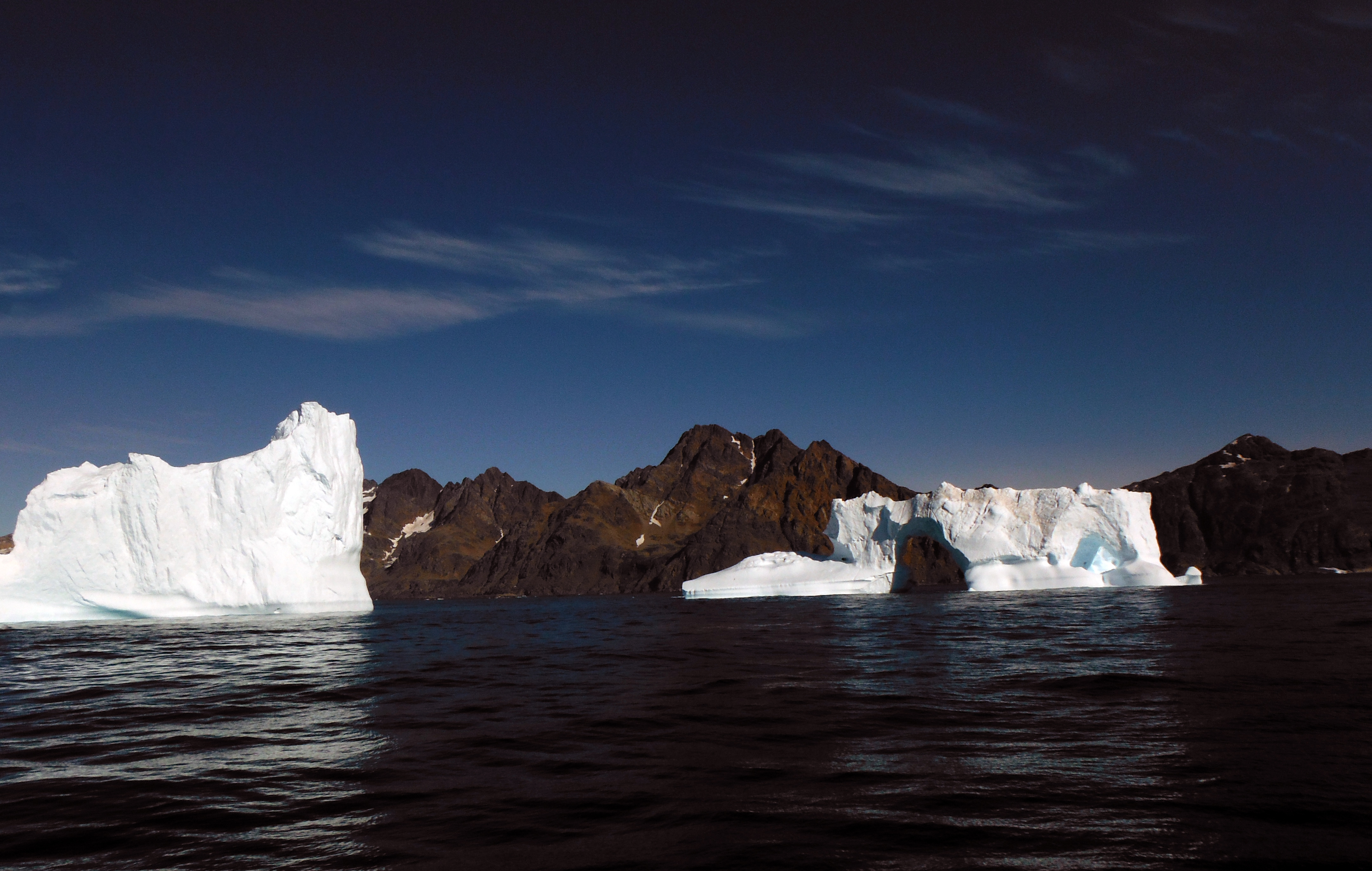
P3 is on the shelf near the mouth of Sermilik Fjord. Measurements from this site help us learn about the interactions between the shelf and the fjord.
PIES Projects in Sermilik
We started out with a 1-year Pilot Study with a PIES deployed at site P1. This was followed by a 2-year deployment funded by the National Science Foundation (grant PLR-1332911 Novel Methods to Observe Heat and Ice in the High Latitudes Using PIES) focused on an Along-Fjord Study of variability at sites P1, P2, and P3. Since P3 was ice covered during our recovery cruise (August 2015), the PIES there remained in the water, sampling for an extra year and was recovered August 2016.
Now we are continuing a Monitoring Study by maintaining a PIES at site P1. The instrument (funded by the Woods Hole Oceanographic Institution internal funds) was deployed August 2015 and a recovery is planned for August 2018. We hope to continue a longer term deployment at site P1 for an Annual-to-Decadal Variability Study and will seek funds to support this effort. This deployment would make use of novel technology for data retrieval that does not rely on ship time.